
Daniel Boone Back Country Byway
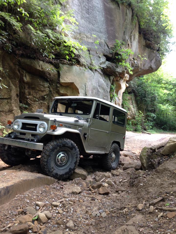
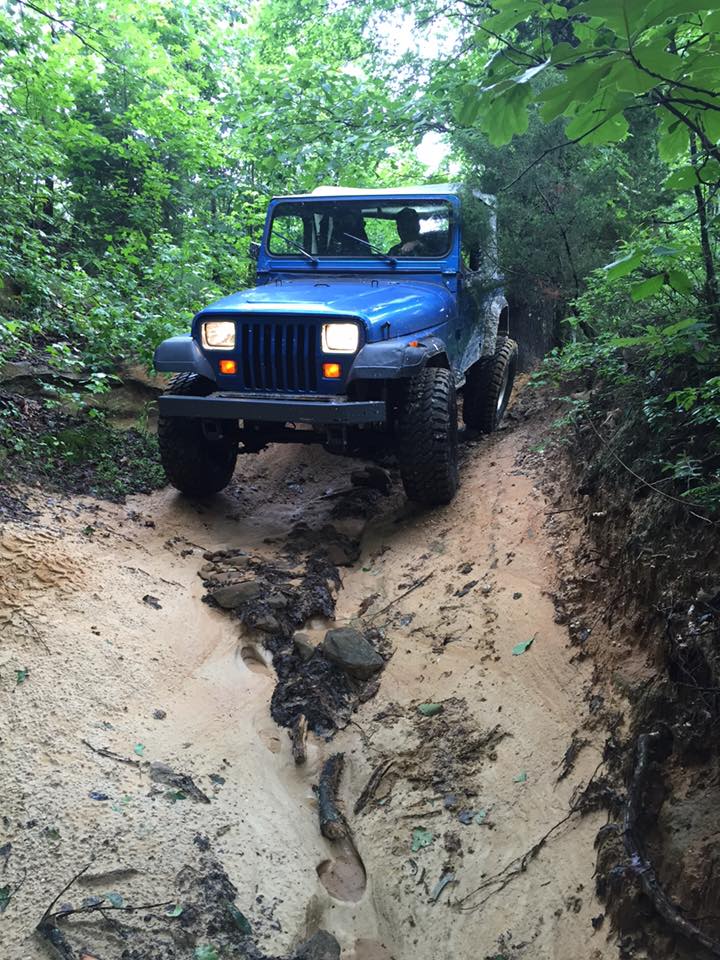
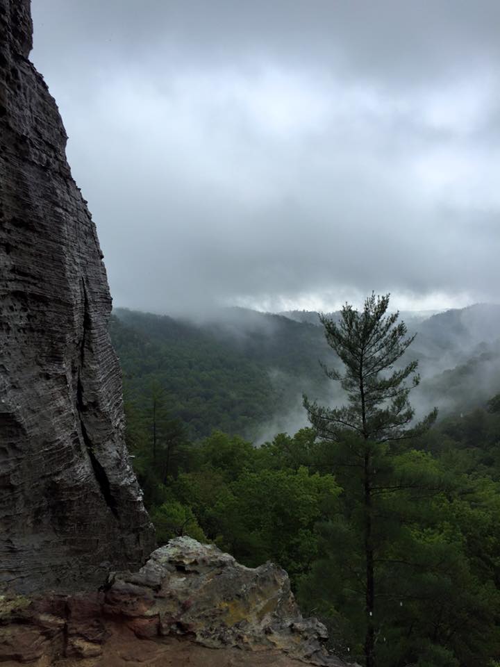
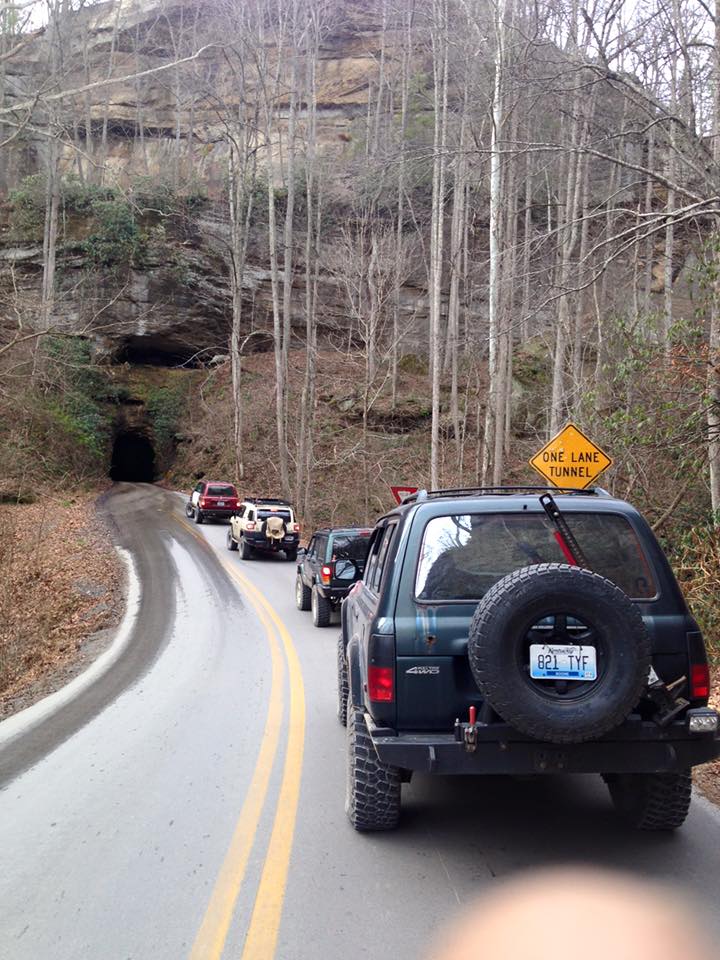
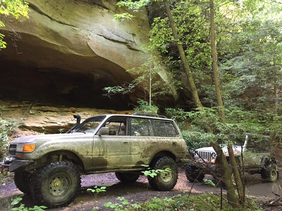
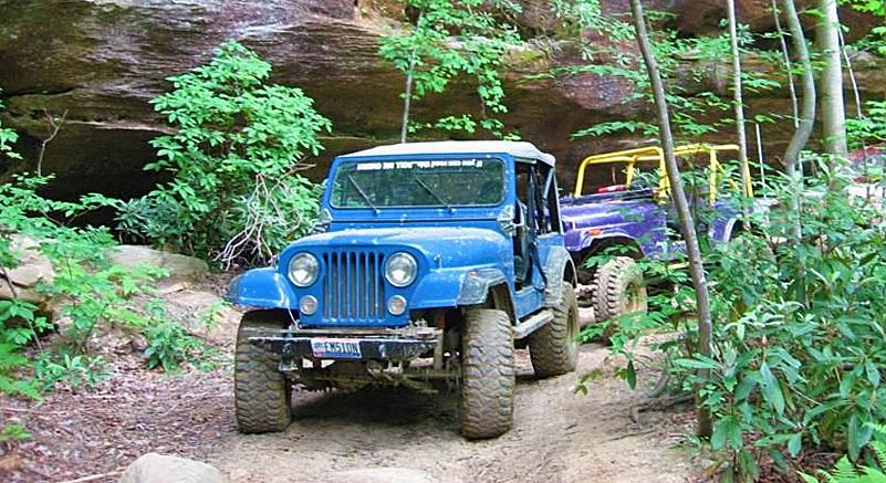
The Daniel Boone Backcountry Byway (DBBB) is a high clearance 4wd route comprised of improved and unimproved county and public roads over 100 miles long centered around the scenic Red River Gorge and Daniel Boone National Forest in eastern Kentucky.
The DBBB is of moderate difficulty and open to licensed vehicles only. It is designed for entry level off-roading and providing a safe and rewarding driving experience.
The initial purpose of this project was to put use into the beautiful county roads and to stimulate local business economy while improving and preserving the roads from illegal closures, vandalism, erosion, and other risks.
The Story behind what is the “DBBB”
* Historically, this area of Kentucky hosted the Jeep Jamboree for many years, as far back as 1969. In 2004, a travel management rule change by USFS closed off many of the routes and ended the organized events.
* Tourism was a huge part of the rural economy of the area and the loss of access equaled a drop in economic input both direct and indirect.
* Since the mid-2000's, a concerted effort between SFWDA members, five local counties, and USFS resulted in the DBBB. Some of the important routes previously utilized by the Jeep Jamboree are now open and drawing organized events and support.
* The DBBB was launched in 2016. SFWDA supported the development of a digital map of the DBBB which allows users to navigate these beautiful 4wd roads with smart phone technology. The DBBB Facebook page has over 3200 followers and some posts have reached 10k.
* The roads are part of the historical county transportation systems which make the right-of-ways county property and allows access to the public.
* A few recent challenges to the public access of these roads have arisen due to the increased traffic of the DBBB. None have resulted in a loss of access due to support from the counties and SFWDA's grant program, which has provided generous financial support in the form of legal fees and road maintaining resources.
* There are 50-100+ miles of expansion of the DBBB planned to meet the growing need of the OHV community for entry level experience.
* The DBBB is within 5 hours drive of the northeast megalopolis which represents 17% of the US population or roughly 50 million Americans. It is also convenient to southern states as well.
A little Q & A
Q. So what exactly is the Daniel Boone Byway?
A. It's a long loop (98.7 miles) in some of the most remote and scenic territory in the State of Kentucky including the Red River Gorge.
Q. Who exactly collaborated on this project?
““ A collaborative SFWDA Grant utilization venture to unveil 100 miles of OHV trails throughout Kentucky and Ohio. “ ”
A. Through grants provided by SFWDA & Tread Lightly the key contributors of the project are; Friends of Boone, The Ohio River Four Wheeler's, CartoTracks LLC, and Southern Four Wheel Drive Association.
Q. Who is able to ride on these trails and when?
A. Anyone and everyone who agrees to adhere to basic Tread Lightly principles including common sense best practices are invited to take advantage of these pristine trails. This entire nearly 107 mile trail system is now open now and will remain open indefinitely.
Q. Who and What is CartoTracks?
A. CartoTracks is the leader of digital OHV mapping and they are now offering this entire trail system for a nominal fee as a downloadable file which can be used right on your Smartphone without the need of a cell phone signal.
Q. Which route is best to begin to tackle the DBB?
A. It is suggested that you begin in Slade, KY and travel West along the route until you intersect the loop. From there, counterclockwise is preferred.
Tread Lightly!,
and always
respect land owners and their property.


The Details
The Daniel Boone Back Country Byway is made possible through support from local counties, Tread Lightly, Southern Four Wheel Drive Association, Friends of Boone, CartoTracks, Kentucky Krawlers, and The Ohio River Four Wheelers.

See www.Cartotracks.com for the preferred Digital Map version to be used on your smart phone. (non cell-coverage reliant)
You can now download the complete and current comprehensive DBBB map electronically and use it right now on your smartphone.
For more details visit;
www.cartotracks.com
Local county governments and tourism boards have partnered with the Southern Four Wheel Drive Association (SFWDA.org) and other local jeep clubs to support the development and maintenance of these valuable roads which will result in cleaner, better roads to control forest fires, emergency evacuations, recreation, and private land holder access.
Improvement and better management of these roads to generate tourism money will result in better enforcement and prevent unfortunate damage to the land as a result of irresponsible use.
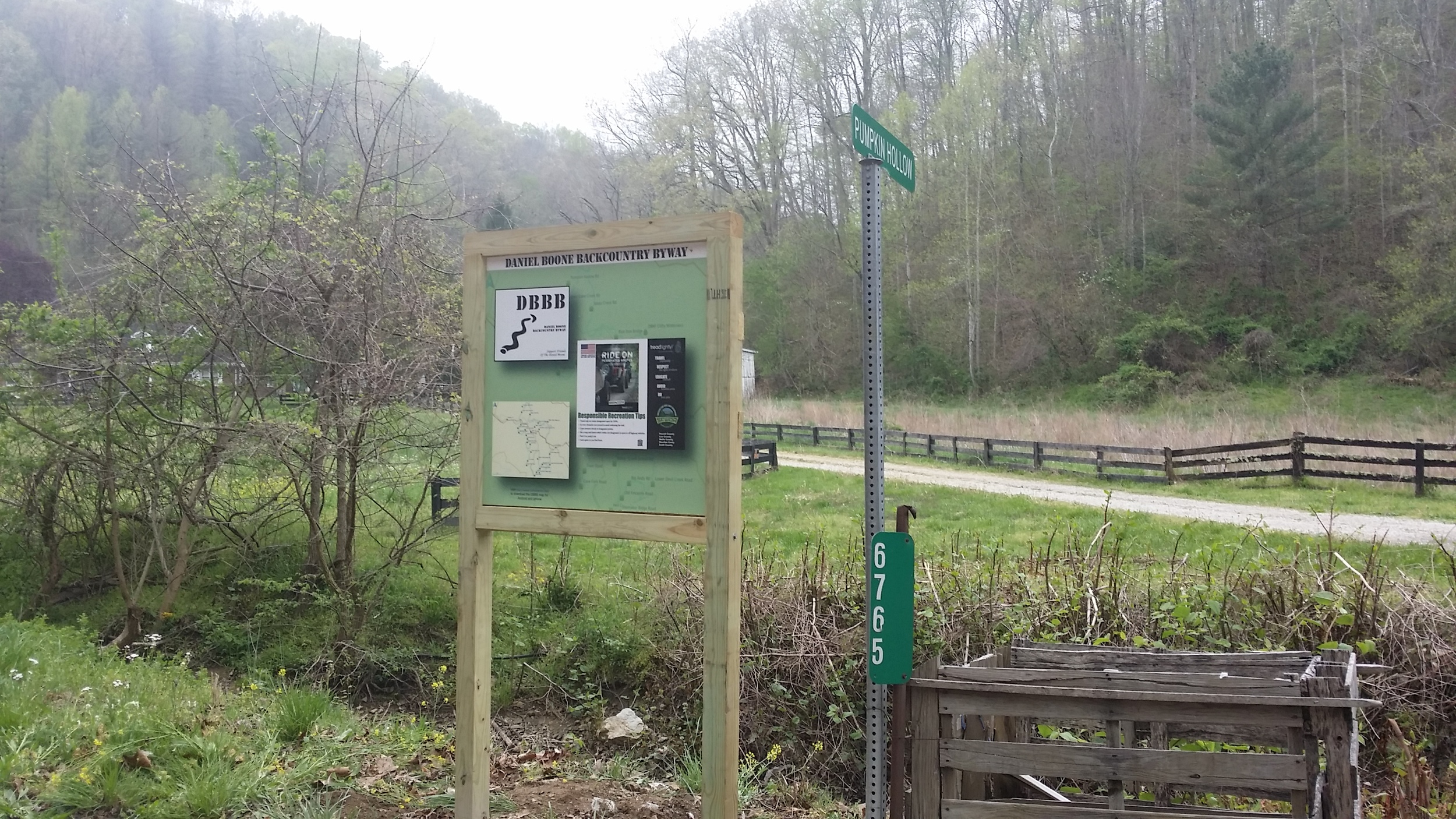
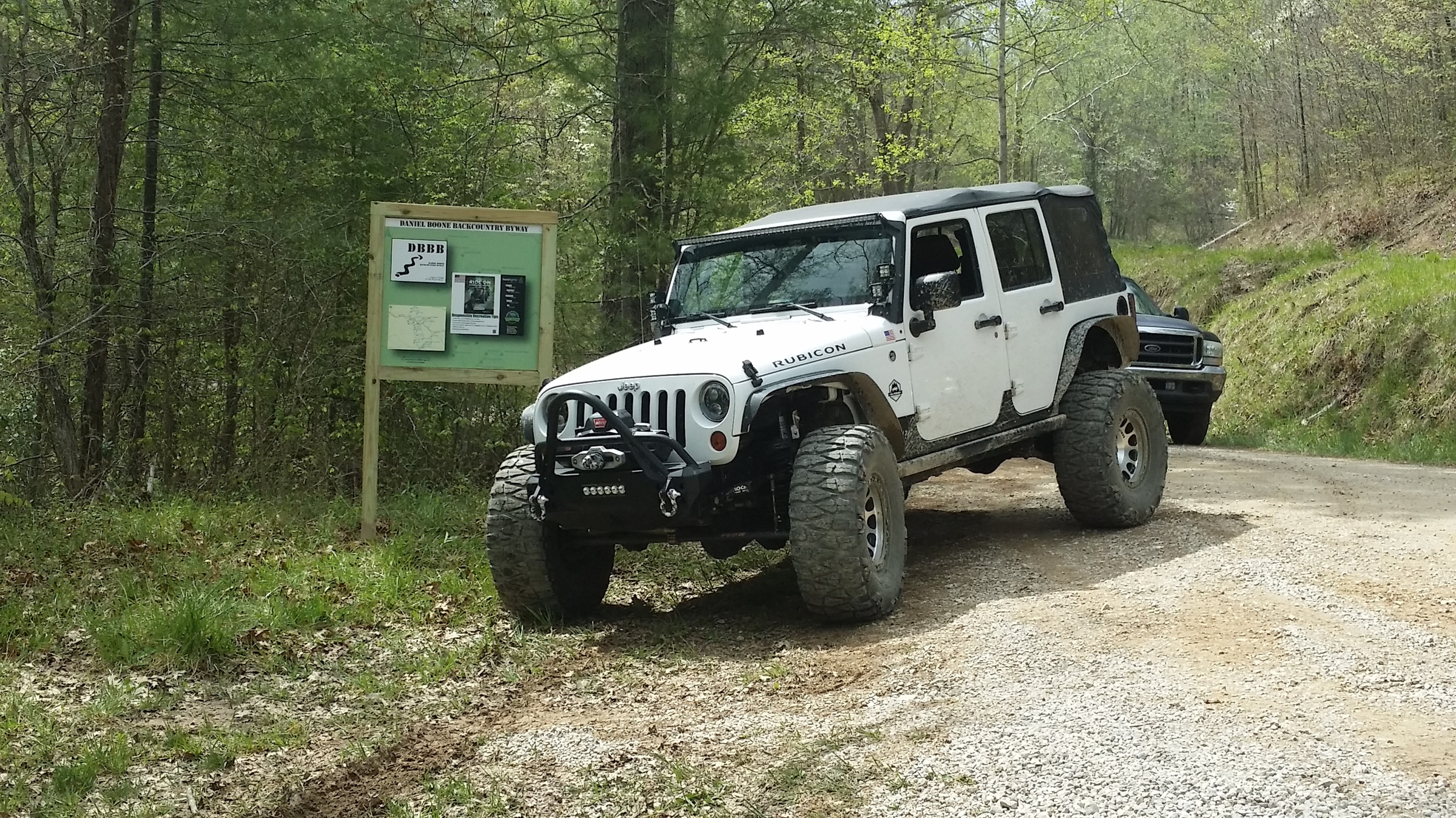
Treadlightly! ethics (Treadlightly.org) will be implemented through signs with maps and information displayed at key points along the route in wooden kiosks placed on the county right of way. These kiosks are being built and paid for by donations of time and money from local organizations, state and regional clubs, and anyone who wants to contribute.
Southern Four Wheel Drive Association’s grant money is paying for CartoTracks (cartotracks.com) to “smart map” the Daniel Boone Backcountry Byway. This means tourists can navigate the route with accuracy with their smartphone or device without needing a cell signal because the route is downloaded onto the smartphone or device’s memory.
OHIO RIVER FOUR WHEELERS used a $2000.00 grant from SFWDA and TreadLightly to design, construct and install 10 kiosk road signs along the 107 miles byway route. ORFW appreciates the funding and all the volunteer hours donated to get the kiosks in place. Below are some photos from the construction and installation.